Hand-drawn land plot map, Maungdaw Township
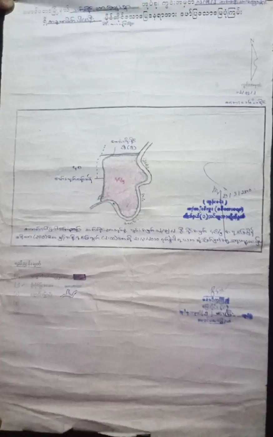
Burmese rough map of a land plot owned by a named person, with field (kwin) and holding numbers, a shaded plot sketch, north arrow, legend and blue official stamps. The text and a signature are dated 23/3/2010.
About this document
- Category
- Land & Property
- Year
- 2010
- Script
- Burmese
- Photographed by
- Ro Mohib Ullah
- Shared on
- 25 October 2026
From the collection
Preserving Our History, Identity, and Dignity | Rohingya Heritage. These old documents are more than just pieces of paper; they are valuable evidence of our history, identity, land ownership, and dignity as Rohingya people. Each document carries memories of our roots and our ancestral homeland, Arakan. For the Rohingya people, preserving these historical records is essential to protecting our heritage, honoring our past, and ensuring that future generations understand our history and identity. Our documents tell our story, our history deserves recognition, and our dignity must never be forgotten. Ro Mohib Ullah #Rohingya #RohingyaHistory #RohingyaIdentity #RohingyaHeritage #HumanDignity #PreserveOurHistory #Arakan #OurRootsOurIdentity
Photograph by Ro Mohib Ullah, first shared by the Rohingya Photographic Society.