Hand-drawn Tula Toli village map on whiteboard
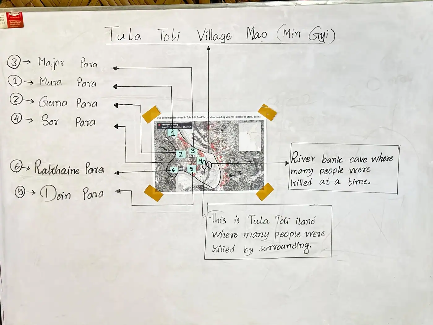
Whiteboard titled 'Tula Toli Village Map (Min Gyi)' with a printed satellite map and labelled hamlets. English notes mark a river-bank site and the island where 'many people were killed'.
About this document
- Category
- Human Rights Records
- Script
- English
- Place
- Maungdaw Township
- Photographed by
- Mohammad Ayaz
- Shared on
- 23 October 2026
From the collection
These are the records of Rohingya victims of the Tula Toli massacre, allegedly perpetrated by Myanmar military forces in August 2017.The Voices for Those Whose Voices were Completely Hidden in the Massacre of Tula Toli. Mohammad Ayaz #TulaToliMassacre #Rohingya #MyanmarJunta #RohingyaHistory
Photograph by Mohammad Ayaz, first shared by the Rohingya Photographic Society.